Finding the bear before the collar: an aerial scanning proposal with drones and AI models
7 min read
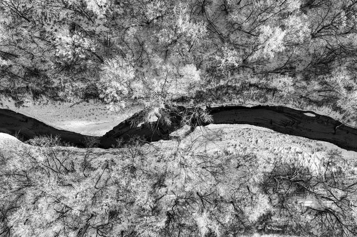
On 6 August 2026 the monthly report from the Autonomous Province of Trento on large carnivores flagged a spike in damage to cattle herds in upper Val di Sole: seven incidents with more than ten animals killed — livestock, the Province writes, “harder to manage with prevention measures than sheep and goats.” The response, in the same report: “An intensive monitoring effort is in progress, to genetically identify the individual(s) involved and adopt the further actions set out in the Pacobace (starting with the fitting of a radio collar).” The PACOBACE — the interregional Action Plan for the Conservation of the Brown Bear in the Central-Eastern Alps — was approved under decree no. 1810/2008 by a technical committee with the Ministry of the Environment and ISPRA, and sets out radio-telemetry procedures and dangerousness criteria. The same report notes sightings on Monte Bondone, and that the collar on F7 — a non-problematic bear — detached as scheduled on 21 July.
A dense summer. On 21 June, near Ranzo, two hikers met a female bear with three cubs: a bluff charge to within a metre, no contact. On 26 June, above Stenico, a lone hiker had a similar encounter; on 7 July the Province: those involved “responded in the best possible way to the bears’ charge, namely by staying calm and moving away without shouting.” On 30 July a bear was struck by a car on the SS 45bis and moved off unaided. In the background, the 2025 Large Carnivore Report (4 May): population estimated at 118 bears, confidence interval 99–141, twenty-third year of genetic monitoring; 127 cases of bear damage in 2025, around €91,000 in compensation, 40 head killed by bears out of 478 total. The need stated on 6 August: identify the individual genetically and, if necessary, fit a collar under the PACOBACE — a task for those with the authority. We propose a tool that can precede it: aerial scanning that narrows down where to look, before a collar can be fitted.
Why the paper trail matters
Two rulings from the same summer make the point better than any abstract argument. On 3 July the Court of Cassation rejected the Province’s appeal over the female bear F36, upholding the finding that the cull order had been unlawful: culling a protected species “is an extreme measure, admissible only when the absence of any other valid solution has been demonstrated,” and the court reviews “completeness of the investigation, correctness of the fact-finding and logical coherence,” while an appeal to “a climate of public alarm and media pressure” is “extraneous to the strict requirements of European law.” Four weeks later, over the wolf at Malga Boldera, the Council of State found for the Province, holding the cull “suitable and necessary.”
Same administration, same subject, four weeks apart, opposite outcomes. We take no position on which case was well founded: the difference lies in the quality of the investigation behind each decision. A repeatable, dated, geo-referenced observation, with the image that produced it, is the material an investigation must produce — the same principle by which automated analysis must withstand public scrutiny — whichever way the decision goes.
What we propose
First, aerial scanning: RTK drones — differential correction, centimetre-level precision — with a thermal camera and a 4K camera, on systematic, repeatable flight grids, not ad hoc searches. The seasonal window matters: with bare canopy the ground stays visible and the thermal contrast is sharper — a calendar choice, not a detail.
Second, recognition: the footage is processed by our models, which distinguish a bear from other animals of similar size and track its movement at a distance, without close pursuit. The system does not decide: it flags. The output is an alert to the authority, with position, time and images.
Third, the link to the collar: that information lets those with the authority organise the fitting of the GPS radio collar, under the procedures in force. We do not fit the collar, and we do not decide to fit it.
Fourth, the data platform: GPS data flows in alongside scanning data — position, routes, recurrence, times, elevation, use of territory over time — and from there, cross-referenced with terrain and prior history, the plausible areas for the next pass are derived. Operators see a single map, with each animal’s history.
How we check it
We build this platform — scans, GPS data, per-individual history — inside our confidential data analysis service: positions of protected animals and images with coordinates stay within the perimeter of those entitled to see them, access tracked, never publicly exposed. It is no different, for us, from a confidential corporate file: the same system we use to hold data, for other clients, that cannot leave the organisation’s perimeter. See the service · Talk to an engineer
The constraints, before the benefits
A drone can be the disturbance itself: it is documented that one can frighten a female bear with a cub. That is why the system provides for declared altitude and stand-off distance, no close pursuit, automatic suspension of any approach at the first sign of a reaction, and a preference for thermal imaging at a distance over close-range visible footage. A system that disturbs the bear to observe it has already failed its purpose.
The authorisation regime exists and is not to be worked around: derogations from the Habitats Directive are authorised by the Ministry of the Environment, having consulted ISPRA (Article 16); Law 394/1991 prohibits unauthorised overflight of protected areas, and within parks drones are normally permitted only on specific application, often for scientific purposes. A serious proposal starts from the application, not the flight.
This is not a public map. On 12 June the Province put it plainly: “Tools and platforms that collect sightings can wrongly convey the idea that some areas are more or less safe than others,” because “safety also depends on preparation and on adopting appropriate behaviour, not on checking individual reports or unverified updates”; information from third parties “should not automatically be regarded as validated by the competent authorities.” The positions we collect do not feed a hiking app: the recipient is the competent authority, and the public gets its guidance from those with the authority to give it.
Finally, it does not replace genetic monitoring, it complements it: certain identification stays genetic, scanning says where to look and when.
What reaches the decision-maker
The system produces observations that are repeatable, dated, geo-referenced, with the image that documents them. We do not promise they will reduce damage or prevent an attack: that is for whoever manages the territory to decide. We do know who such material serves: those deciding where to intervene, with a trail that withstands review; a farmer, a mayor, a tourism operator, each needing facts rather than reassurances they have no authority to give — the same logic behind our work for the public sector: material built to withstand an inspection, not an opinion that ends with itself.
An operational trial, not a promise
We propose an operational trial: a defined area, one season, agreed with those who have authority. Objectives and verification criteria declared in advance — what the scan must produce, how success is judged — not afterwards: the same principle used to judge whether a system has actually worked. The first session, to set up the application, is free of charge.
Comply and decide
The observations become a file for each individual — what was seen, where, when, with which image — the material a decision needs to produce before a court, whichever way it goes, as F36 and Malga Boldera show.
Outside this case, the same system is what we build for large enterprises, defence, government and healthcare: it holds together scans, GPS data, reports, compensated damage, terrain and seasonality in one operating model, on which AI agents execute decisions with an operator in command. Always in two modes — on-premises, on autonomous machines needing no deep integration into the client’s network, or a dedicated cloud with a data centre in Italy — always with shared management: the same principle governing the credentials of whoever administers a company AI system.
Do you manage a territory where protected wildlife causes damage needing documentation and investigations that must hold up? Talk to an engineer: the first session is free of charge.